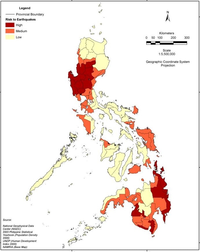
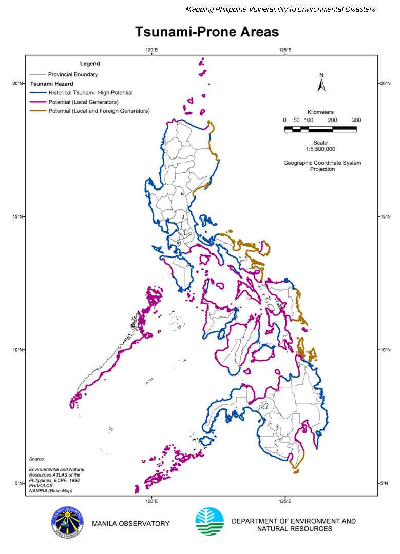
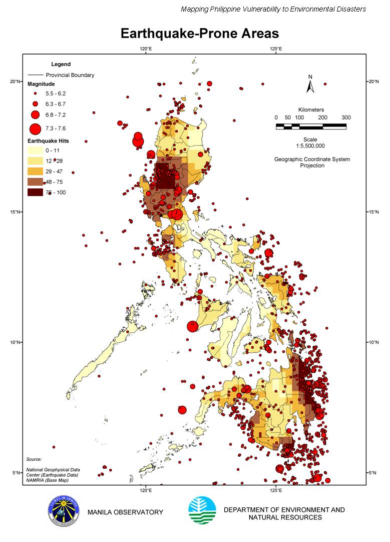
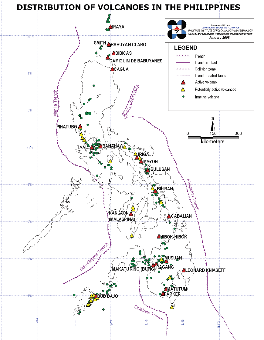
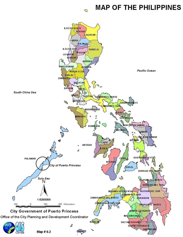
I am uploading some maps here. These are maps which are helpful for Disaster readiness and risk reduction and Earth and Life Science. The manila observatory website is no longer accessible. I am searching PHILVOCS website for a student friendly color-coded maps on risk of earthquakes, tsunamis, etc. For the time being that I cannot find one, I advice the users of our book to use these maps.

 RSS Feed
